The Western Disturbance as a cyclonic circulation lies over North Pakistan & neighbourhood in lower & mid tropospheric levels with a trough aloft in mid tropospheric westerlies with its axis at 5.8 km above mean sea level runs roughly along Long. 70°E to the north of Lat. 32°N and an induced cyclonic circulation lies over Punjab & neighbourhood in lower levels. Under its influence:
*i)* Fairly widespread to widespread rain/snow with *moderate thunderstorm, lightning & hail* very likely over Jammu & Kashmir, Ladakh, Gilgit-Baltistan & Muzaffarabad and Himachal Pradesh on 23rd and isolated rain/snow over these regions on 24th January, 2021.
*ii)* Isolated rain/snow with *moderate thunderstorm, lightning & hail* very likely over Uttarakhand on 23rd January, 2021.
*iii)* *Heavy rain/snow* at isolated places also very likely over Jammu & Kashmir, Ladakh, Gilgit-Baltistan & Muzaffarabad on 23rd January, 2021.
*iv)* Light rain/thundershower very likely at isolated places over north Punjab and north Haryana & Chandigarh on 23rd January, 2021.
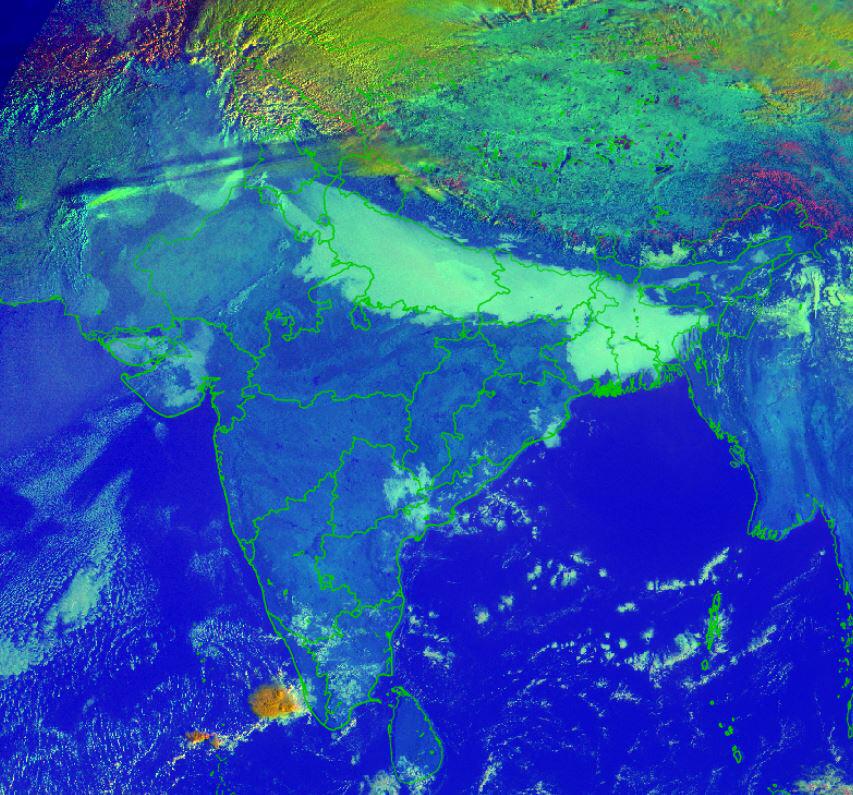
♦️ *Dense to very dense Fog* in isolated/some pockets very likely over Punjab, Haryana, Chandigarh & Delhi, Uttar Pradesh, north Rajasthan, Assam & Meghalaya and Nagaland, Manipur, Mizoram & Tripura during next 4-5 days; over Bihar, north Madhya Pradesh, West Bengal & Sikkim and Odisha during next 2-3 days.
♦️ *Cold Day to Severe Cold Day* conditions in isolated/some pockets over Uttar Pradesh & Bihar during next 2-3 days and over Haryana during next 24 hours. *Cold Wave to Severe Cold Wave* conditions in isolted pockets very likely over north Rajasthan during 24-27 January and over Punjab, Haryana, Chandigarh & Delhi and Uttar Pradesh during 26-27 January, 2021.


Related Items
Moody’s says India best placed to weather future global shocks
Tamil Nadu: 15 fishermen released by Sri Lanka arrive in Chennai
DMK unveils ‘Chennai Super-6’ manifesto ahead of Tamil Nadu polls